Vital Mobility Technology Insights
Innovation gears up the mobility industry into the fast lane. Discover the freshest digital insights to compete effectively in the technology-defined world.
Recent blog posts

AI & MLAutomotive
AI in the Engineering Garage: How to Bridge the Reality Gap in Automotive Prototypes Validation with AI
Jun 08, 20265 mins read
→
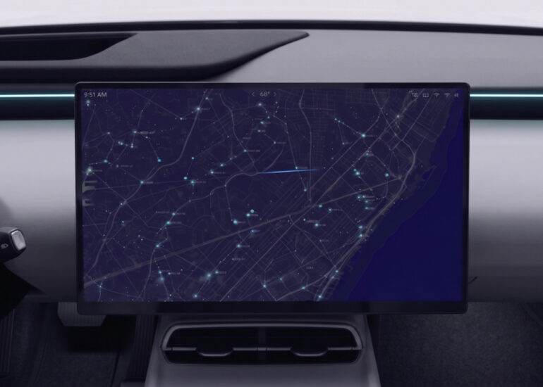
AutomotiveMobilityNavigation & Mapping
From the Classroom to Real-World Projects: How Educational Programs Fuel the Overture Maps Ecosystem
Apr 29, 20264 mins read
→

AI & MLMobility
Mobility Trends in 2026: From Hype to Execution – Outlook on Industry Challenges and Opportunities
Apr 07, 202610 mins read
→

AutomotiveAutomotive EmbeddedMobility
Virtual ECUs for Automotive Testing: Making Software-Defined Vehicle Practical
Dec 23, 20256 mins read
→

AutomotiveMobilitySafety & Security
SDV Cybersecurity with AI: Building Safety and Trust by Design
Dec 09, 20256 mins read
→

eMobilityMobilityTransportation
Smart Charging and Vehicle-to-Grid: The Key Role of Standards and Cooperation
Aug 26, 20256 mins read
→

Automotive
Rust Programming: Modernizing Automotive Software to Keep It from Getting Rusty
Jan 17, 20251 min read
→

AutomotiveFSIInsurance
Telematics Insurance: Future-Proofing Your Business with Next-Gen Technology
Jan 13, 202414 mins read
→