GIS Technology Insights, Trends, and Use Cases
The Intellias blog contains expert articles and opinions on new opportunities that GIS-powered solutions and innovations can bring to different industries and markets.
Recent blog posts
Data & AnalyticsFSIGISInsurance
How GIS Data Is Transforming the Insurance Industry
Mar 13, 20256 mins read
→

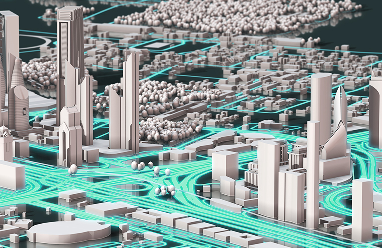
GISTechnologyTelecom & Media
Geospatial Digital Twins: An Overview of Digital Twin Technology and GIS
Oct 04, 202414 mins read
→

GISTelecom & Media
Mapping Geospatial Data: Fueling the Telecom Industry’s Sustainable Growth
May 22, 202410 mins read
→


DronesGISLocation-based services
How to Use Drones for Insurance Inspections
Feb 15, 20229 mins read
→

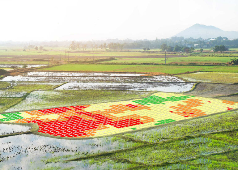
AgricultureGIS
8 Applications of GIS in Agriculture for Predictability & Sustainable Growth
Jan 25, 202212 mins read
→

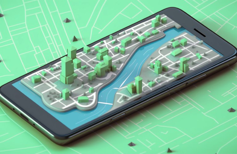
GISLocation-based servicesNavigation & Mapping
Digital Mapping: Connecting the Dots to Drive Decisions
Nov 09, 20209 mins read
→
AgricultureGISLocation-based services
How Does Precision Mapping Empower Agribusinesses to Flourish?
Nov 21, 20195 mins read
→