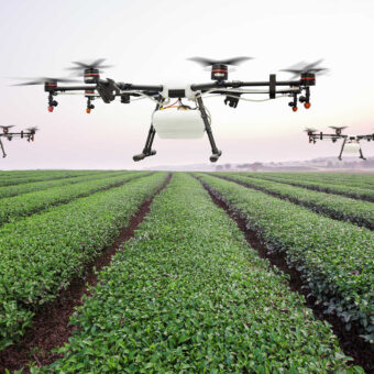
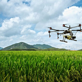
Drones in Agriculture
Intellias is a trusted technology partner for AgriTech companies. We help our clients enhance their drone software for agriculture by analyzing GIS data and aerial images of fields, comparing that data against certain criteria, and synchronizing it with large databases. Farmers can use drone agriculture software to monitor crop health, track livestock, plan irrigation, and predict yields based on insights acquired from fields. Intellias contribute to drone solutions for agriculture by applying its engineering services and technology expertise in drone agriculture mapping software at scale.
Our services
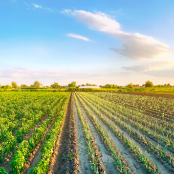
We help AgriTech providers to empower farmers with actionable insights instead of overwhelming them with unstructured data. To do this, we apply our expertise in drone image processing software to collect, process, and analyze aerial imagery for precision farming. We cover the full lifecycle of development, including designing user interfaces, establishing cloud infrastructure, and developing drone farm mapping solutions.
Drone field mapping
Compile accurate custom map layers with drone image processing software to perform real-time analytics of crops and soil conditions
UAV data processing
Analyze, store, and report on drone data using 3D modeling APIs and powerful algorithms for accurate drone image processing
Analysis of custom zones and plots
Simplify crop analytics by defining custom field zones and dividing trial plots to aggregate and export precise statistics
Agricultural drone spraying
Apply UAV drone software to distinguish between infected and healthy areas for accurate spraying of fertilizer and pesticides
Aerial crop scouting and health analysis
Combine aerial crop imaging, aerial sensor technology, and crop scouting drone software for autonomous field management to detect field issues
Drone planting systems
Rely on plant count mapping and analytics software to automate costly, time-consuming, and labor-intensive planting
Real-time livestock monitoring
Create mapping and AI-based software for GPS tagging, thermal recognition, and tracking of livestock movements, health, and quantity
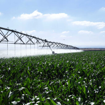
Drone irrigation management
Monitor moisture levels, avoid draining and pooling, and follow natural land runoff to optimize irrigation system design and scheduling
Interpret aerial imagery for profitable crop decisions
Navigating change. Our insights
Blog post
How to Interpret Agricultural Drone Data for Crop Management Decisions
Blog post
Smart Farming: What Is the Future of Sustainable Agriculture?
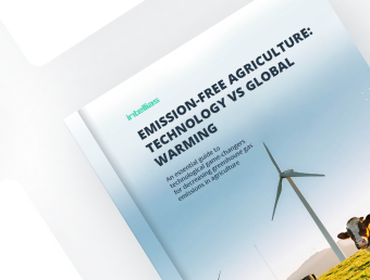
White paper
Emissions-Free Agriculture: Technology vs Global Warming
Blog post
Smart Irrigation in Agriculture: How IoT Takes AgTech to the Next Level
Case study
Collecting and Analyzing Drone Imagery for Crop Monitoring
Blog post
8 Applications of GIS in Agriculture for Predictability & Sustainable Growth